Releases
2024-08-25 Updates for version 4
- Update data with the release of FCC Broadband Data Collection data as-of December 31, 2023 (retrieved from the FCC National Broadband Map)
- Add geocoder widget to mapping tool, allowing user to search and navigate by place names
- Add link to Broadband Climate Risk tool for relevant county selection
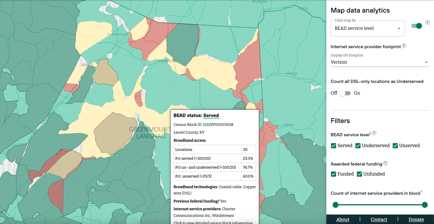
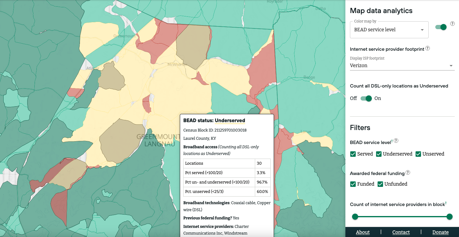
- Set color thematic for mode that excludes DSL in counting “Served” locations to match normal mode, so that it’s easier to visually detect variations when switching between modes
2024-04-23 Updates for version 3
- Add county-level broadband stats (FCC) to the Broadband County Summary companion app
- Add button to download broadband summary data for area selected on map
- Add button to share URL for area selected on map
- Federal funding data is now sourced from https://fundingmap.fcc.gov/data-download/funding-data.
The funding programs currently tracked on the rural broadband map include:
- Broadband Infrastructure Program
- Capital Projects Fund
- Connect America Fund Phase II
- COMMUNITY CONNECT GRANT PROGRAM
- Enhanced Alternative Connect America Cost Model
- RDOF data (originally from https://www.fcc.gov/auction/904)
- RURAL ECONNECTIVITY PROGRAM
- State and Local Fiscal Recovery Fund
- TELEPHONE LOAN PROGRAM
- Tribal Broadband Connectivity Program NOFO 1
2024-03-27 Updates for version 2
- Create and deploy a Broadband County Summary companion app
- Move county-level ACS statistics the companion app
- Improve data fetching from CORI Data API (CDA) endpoints.
- Simplify display of summary stats for Census blocks, ISP technology, and Award info in the Detailed Info section

